Parkland at Beanhill, Milton Keynes.
Introduction
The photograph on this page of Parkland at Beanhill, Milton Keynes. by Cameraman as part of the Geograph project.
The Geograph project started in 2005 with the aim of publishing, organising and preserving representative images for every square kilometre of Great Britain, Ireland and the Isle of Man.

There are currently over 7.5m images from over 14,400 individuals and you can help contribute to the project by visiting https://www.geograph.org.uk
Parkland at Beanhill, Milton Keynes.
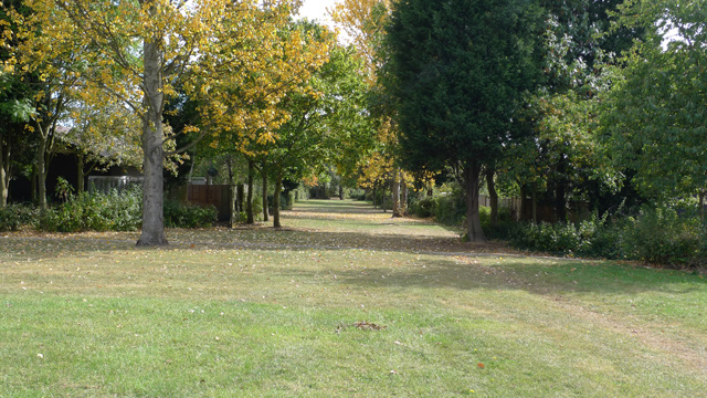
Image: © Cameraman Taken: 24 Sep 2009
The parkland area between the rear gardens of one bedroomed bungalows in Lammas and in Chervil, Beanhill. The photo is taken from the large open area used for sports etc.
Images are licensed for reuse under creativecommons.org/licenses/by-sa/2.0
Image Location
Latitude
52.019291
Longitude
-0.741023