Rear of Ditherington Flax Mill
Introduction
The photograph on this page of Rear of Ditherington Flax Mill by John M as part of the Geograph project.
The Geograph project started in 2005 with the aim of publishing, organising and preserving representative images for every square kilometre of Great Britain, Ireland and the Isle of Man.

There are currently over 7.5m images from over 14,400 individuals and you can help contribute to the project by visiting https://www.geograph.org.uk
Rear of Ditherington Flax Mill
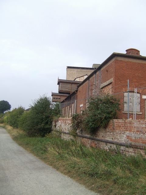
Image: © John M Taken: 19 Sep 2009
The track at the rear of the complex leads down to the railway. These buildings may be from the later Maltings period of usage.
Images are licensed for reuse under creativecommons.org/licenses/by-sa/2.0
Image Location
Latitude
52.719064
Longitude
-2.744184