Marehill: A283 approach to Wickford Bridge
Introduction
The photograph on this page of Marehill: A283 approach to Wickford Bridge by Nigel Cox as part of the Geograph project.
The Geograph project started in 2005 with the aim of publishing, organising and preserving representative images for every square kilometre of Great Britain, Ireland and the Isle of Man.

There are currently over 7.5m images from over 14,400 individuals and you can help contribute to the project by visiting https://www.geograph.org.uk
Marehill: A283 approach to Wickford Bridge
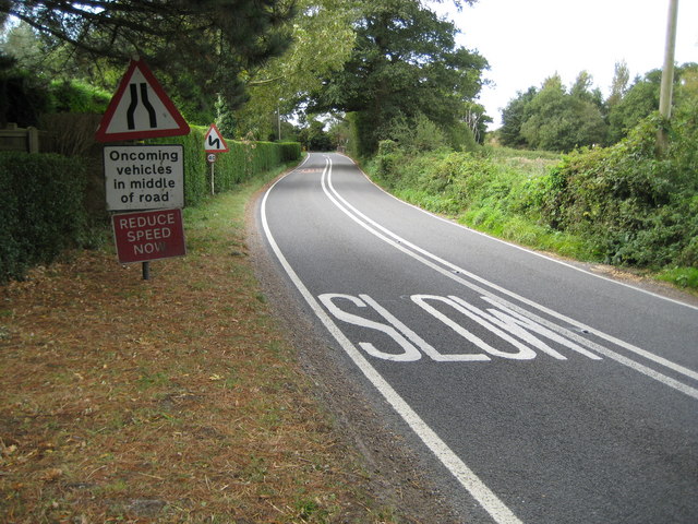
Image: © Nigel Cox Taken: 17 Sep 2009
Yes, we think we get the message. Wickford Bridge takes the road over the River Stor, a tributary of the River Arun.
Images are licensed for reuse under creativecommons.org/licenses/by-sa/2.0
Image Location
Latitude
50.952595
Longitude
-0.485316