Footpath on Castle Hill
Introduction
The photograph on this page of Footpath on Castle Hill by Alan Murray-Rust as part of the Geograph project.
The Geograph project started in 2005 with the aim of publishing, organising and preserving representative images for every square kilometre of Great Britain, Ireland and the Isle of Man.

There are currently over 7.5m images from over 14,400 individuals and you can help contribute to the project by visiting https://www.geograph.org.uk
Footpath on Castle Hill
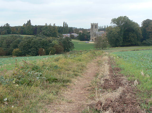
Image: © Alan Murray-Rust Taken: 24 Sep 2009
Looking down towards Thurgarton Priory. The field to the left used to be part of the park belonging to the house.
Images are licensed for reuse under creativecommons.org/licenses/by-sa/2.0
Image Location
Latitude
53.033104
Longitude
-0.970583