Mill leat, Totnes
Introduction
The photograph on this page of Mill leat, Totnes by Derek Harper as part of the Geograph project.
The Geograph project started in 2005 with the aim of publishing, organising and preserving representative images for every square kilometre of Great Britain, Ireland and the Isle of Man.

There are currently over 7.5m images from over 14,400 individuals and you can help contribute to the project by visiting https://www.geograph.org.uk
Mill leat, Totnes
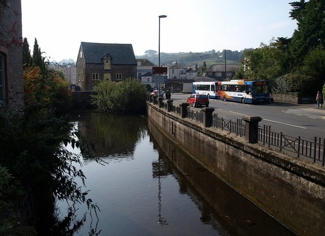
Image: © Derek Harper Taken: 19 Sep 2009
The leat for the Town Mills becomes tidal beyond a sluice at the next bridge. On the right, buses wait in the layby on Coronation Road.
Images are licensed for reuse under creativecommons.org/licenses/by-sa/2.0
Image Location
Latitude
50.431988
Longitude
-3.683063