Harehope Farm Cottage's Outbuildings
Introduction
The photograph on this page of Harehope Farm Cottage's Outbuildings by Les Hull as part of the Geograph project.
The Geograph project started in 2005 with the aim of publishing, organising and preserving representative images for every square kilometre of Great Britain, Ireland and the Isle of Man.

There are currently over 7.5m images from over 14,400 individuals and you can help contribute to the project by visiting https://www.geograph.org.uk
Harehope Farm Cottage's Outbuildings
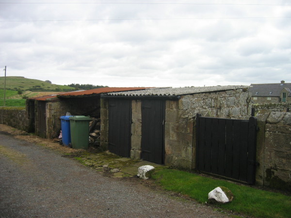
Image: © Les Hull Taken: 16 Sep 2009
These would have provided storage for coal (coalhouse) and one of them was still used for this. Others may have been an outside toilet (netty).
Images are licensed for reuse under creativecommons.org/licenses/by-sa/2.0
Image Location
Latitude
55.476433
Longitude
-1.852686