The start of the Tettenhall to Palmer's Cross bridleway
Introduction
The photograph on this page of The start of the Tettenhall to Palmer's Cross bridleway by Richard Law as part of the Geograph project.
The Geograph project started in 2005 with the aim of publishing, organising and preserving representative images for every square kilometre of Great Britain, Ireland and the Isle of Man.

There are currently over 7.5m images from over 14,400 individuals and you can help contribute to the project by visiting https://www.geograph.org.uk
The start of the Tettenhall to Palmer's Cross bridleway
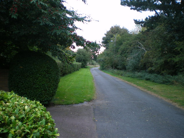
Image: © Richard Law Taken: 25 Sep 2009
Coppice Lane, at this end a metalled track giving access to a handful of houses, turns into a proper singletrack bridleway a little further on.
Images are licensed for reuse under creativecommons.org/licenses/by-sa/2.0
Image Location


Leaflet Map data © OpenStreetMap
Latitude
52.605656
Longitude
-2.179957