Footpath junction near Star Mill Lane
Introduction
The photograph on this page of Footpath junction near Star Mill Lane by David Anstiss as part of the Geograph project.
The Geograph project started in 2005 with the aim of publishing, organising and preserving representative images for every square kilometre of Great Britain, Ireland and the Isle of Man.

There are currently over 7.5m images from over 14,400 individuals and you can help contribute to the project by visiting https://www.geograph.org.uk
Footpath junction near Star Mill Lane
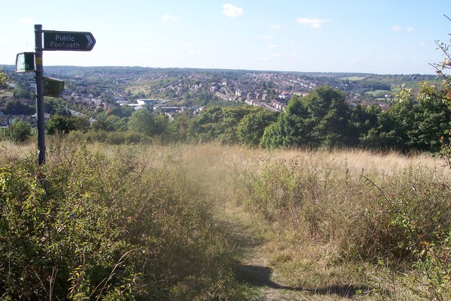
Image: © David Anstiss Taken: 24 Sep 2009
A path leads left towards Kingsway,Darland along the edge of Darland Banks Nature Reserve. Another path leads downhill to Ash Tree Lane. Also a path leads right towards Ash Tree Lane, near Sugarloaf Hill.
Images are licensed for reuse under creativecommons.org/licenses/by-sa/2.0
Image Location
Latitude
51.370535
Longitude
0.552839