Cabbage field and pylons at Riviere Towans
Introduction
The photograph on this page of Cabbage field and pylons at Riviere Towans by Rod Allday as part of the Geograph project.
The Geograph project started in 2005 with the aim of publishing, organising and preserving representative images for every square kilometre of Great Britain, Ireland and the Isle of Man.

There are currently over 7.5m images from over 14,400 individuals and you can help contribute to the project by visiting https://www.geograph.org.uk
Cabbage field and pylons at Riviere Towans
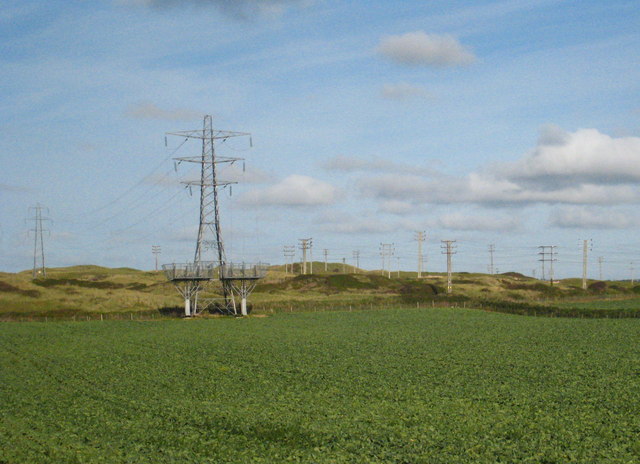
Image: © Rod Allday Taken: 24 Sep 2009
The current edition of the map is incorrect here - the map shows woodland where this field is and the pylon in the centre of the picture is now at the end of the run, presumably with the cable passing underground. On the map the cables continue across more pylons. This is presumably related to the fact that Hayle power station is now defunct.
Images are licensed for reuse under creativecommons.org/licenses/by-sa/2.0
Image Location
Latitude
50.196211
Longitude
-5.42326