Elsecar Canal basin
Introduction
The photograph on this page of Elsecar Canal basin by Alan Murray-Rust as part of the Geograph project.
The Geograph project started in 2005 with the aim of publishing, organising and preserving representative images for every square kilometre of Great Britain, Ireland and the Isle of Man.

There are currently over 7.5m images from over 14,400 individuals and you can help contribute to the project by visiting https://www.geograph.org.uk
Elsecar Canal basin
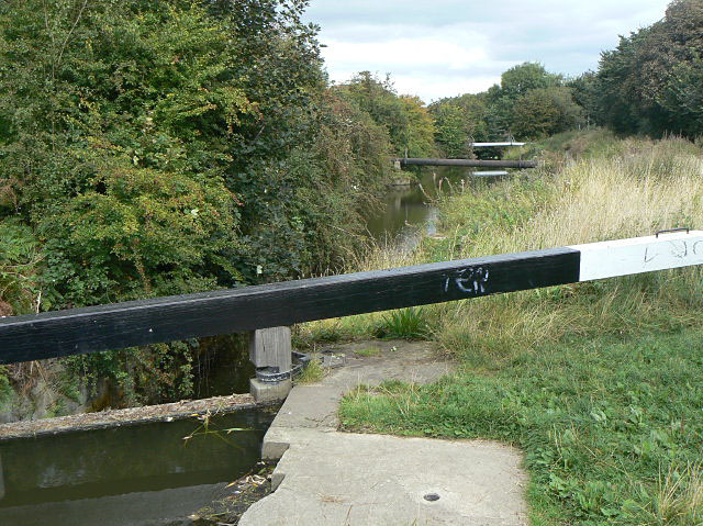
Image: © Alan Murray-Rust Taken: 13 Sep 2009
One pair of gates has been installed at the upper end of the first lock down from the terminal basin. This maintains the water level in the basin, but does not appear to herald the possible arrival of boats at some time in the future. Too much of the canal has disappeared under modern development.
Images are licensed for reuse under creativecommons.org/licenses/by-sa/2.0
Image Location
Latitude
53.498507
Longitude
-1.414914