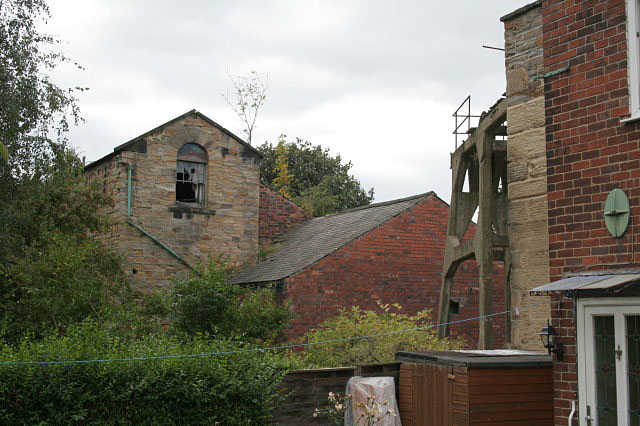
Hemmingfield Colliery
Introduction
The photograph on this page of Hemmingfield Colliery by Alan Murray-Rust as part of the Geograph project.
The Geograph project started in 2005 with the aim of publishing, organising and preserving representative images for every square kilometre of Great Britain, Ireland and the Isle of Man.
There are currently over 7.5m images from over 14,400 individuals and you can help contribute to the project by visiting https://www.geograph.org.uk

Image: © Alan Murray-Rust Taken: 13 Sep 2009
The remaining structures here include two concrete headframes and three engine houses. The tall building to the left is one of these, and the stone building just visible to the right is a second. This has been extended in brick as a private dwelling, but originally would have housed a beam engine, probably for pumping purposes. The brick building in the middle is the third engine house which appears to have housed a replacement winding engine for the nearer beam engine, working the concrete headframe just visible. This is connected to the old engine house, but at an angle so that there is a straight draw to the pulley from the new engine house.

