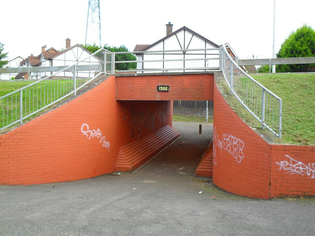
Subway under the Cairnshill Road, Belfast
Introduction
The photograph on this page of Subway under the Cairnshill Road, Belfast by Dean Molyneaux as part of the Geograph project.
The Geograph project started in 2005 with the aim of publishing, organising and preserving representative images for every square kilometre of Great Britain, Ireland and the Isle of Man.
There are currently over 7.5m images from over 14,400 individuals and you can help contribute to the project by visiting https://www.geograph.org.uk

Image: © Dean Molyneaux Taken: 24 Sep 2009
When the Fraser Homes Ltd developments of Malvern and Rossdale were in full swing in the mid-1980s, the need arose to widen the narrow Cairnshill Road. The road was realigned and raised. To provide pedestrian access between Newton Heights, which was built in the early 1980s on the same line as the old road, and Rossdale - this subway was built. It's been repainted since the last time I was here in 2004 - apart from the several graffiti tags, it looks quite well - every light in working order as well.

