Former railway track & bridge?
Introduction
The photograph on this page of Former railway track & bridge? by andrew auger as part of the Geograph project.
The Geograph project started in 2005 with the aim of publishing, organising and preserving representative images for every square kilometre of Great Britain, Ireland and the Isle of Man.

There are currently over 7.5m images from over 14,400 individuals and you can help contribute to the project by visiting https://www.geograph.org.uk
Former railway track & bridge?
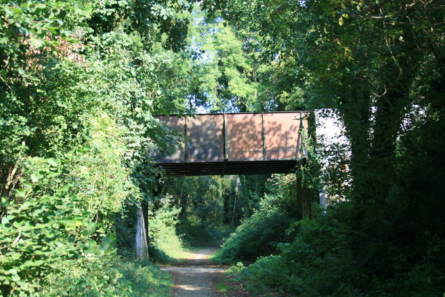
Image: © andrew auger Taken: 16 Sep 2009
I am guessing, but the looks to me as though it was once a railway line and bridge. The bridge carries the road from Milldown common and primary school to the Milldown road on the edge of Blandford Forum.
Images are licensed for reuse under creativecommons.org/licenses/by-sa/2.0
Image Location
Latitude
50.867152
Longitude
-2.168766