Cairnshill Road, Four Winds, Belfast
Introduction
The photograph on this page of Cairnshill Road, Four Winds, Belfast by Dean Molyneaux as part of the Geograph project.
The Geograph project started in 2005 with the aim of publishing, organising and preserving representative images for every square kilometre of Great Britain, Ireland and the Isle of Man.

There are currently over 7.5m images from over 14,400 individuals and you can help contribute to the project by visiting https://www.geograph.org.uk
Cairnshill Road, Four Winds, Belfast
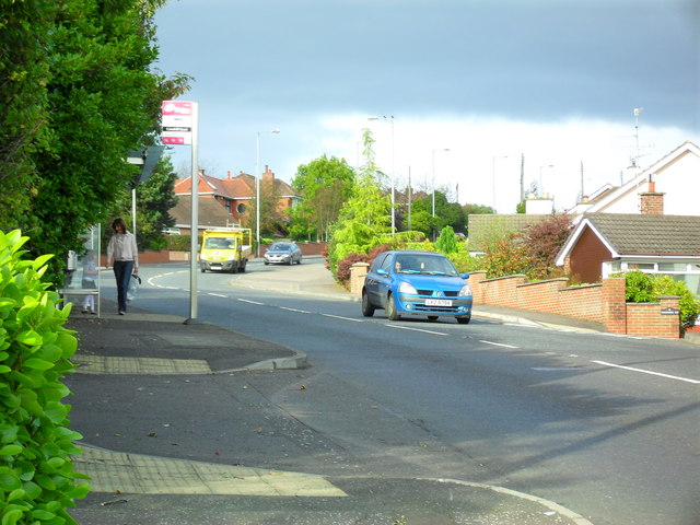
Image: © Dean Molyneaux Taken: 24 Sep 2009
Climbing up from the Saintfield Road into the Four Winds area. The Four Winds began on a greenfield site in the early 1960s - development continues even today albeit at a much slower rate.
Images are licensed for reuse under creativecommons.org/licenses/by-sa/2.0
Image Location
Latitude
54.547354
Longitude
-5.903393