Course of Shrewsbury Canal
Introduction
The photograph on this page of Course of Shrewsbury Canal by John M as part of the Geograph project.
The Geograph project started in 2005 with the aim of publishing, organising and preserving representative images for every square kilometre of Great Britain, Ireland and the Isle of Man.

There are currently over 7.5m images from over 14,400 individuals and you can help contribute to the project by visiting https://www.geograph.org.uk
Course of Shrewsbury Canal
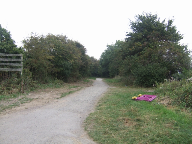
Image: © John M Taken: 19 Sep 2009
The Shrewsbury Canal was built to link Shrewsbury to the coalfields and developing industries around Oakengates. Later the Newport Canal provided a connection to the Shropshire Union at Norbury Junction.
Images are licensed for reuse under creativecommons.org/licenses/by-sa/2.0
Image Location
Latitude
52.724345
Longitude
-2.733465