Saintfield Road at Whinney Heights, Belfast
Introduction
The photograph on this page of Saintfield Road at Whinney Heights, Belfast by Dean Molyneaux as part of the Geograph project.
The Geograph project started in 2005 with the aim of publishing, organising and preserving representative images for every square kilometre of Great Britain, Ireland and the Isle of Man.

There are currently over 7.5m images from over 14,400 individuals and you can help contribute to the project by visiting https://www.geograph.org.uk
Saintfield Road at Whinney Heights, Belfast
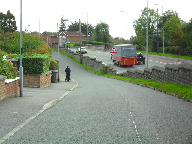
Image: © Dean Molyneaux Taken: 24 Sep 2009
Both the old and new Saintfield Roads. The one on the right is the main A24 - linking Belfast with South Down (Newcastle and Downpatrick).
Images are licensed for reuse under creativecommons.org/licenses/by-sa/2.0
Image Location
Latitude
54.554088
Longitude
-5.908304