Saintfield Road at Commons Brae, Belfast
Introduction
The photograph on this page of Saintfield Road at Commons Brae, Belfast by Dean Molyneaux as part of the Geograph project.
The Geograph project started in 2005 with the aim of publishing, organising and preserving representative images for every square kilometre of Great Britain, Ireland and the Isle of Man.

There are currently over 7.5m images from over 14,400 individuals and you can help contribute to the project by visiting https://www.geograph.org.uk
Saintfield Road at Commons Brae, Belfast
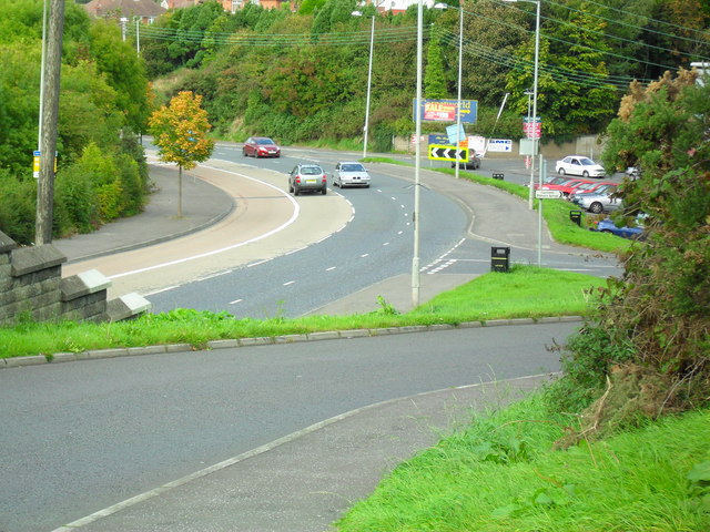
Image: © Dean Molyneaux Taken: 24 Sep 2009
The A24 Saintfield Road takes a sharp curve here at Commons Brae - nowadays well inside suburban Belfast (Borough of Castlereagh). The old Saintfield Road (which has been redundant since the 1960s) is in the foreground. As well as being the road to Saintfield, the busy A24 also links much of South Down with Belfast, not to mention the busy commuter village of Carryduff.
Images are licensed for reuse under creativecommons.org/licenses/by-sa/2.0
Image Location
Latitude
54.555242
Longitude
-5.907472