Commons Brae, Belfast
Introduction
The photograph on this page of Commons Brae, Belfast by Dean Molyneaux as part of the Geograph project.
The Geograph project started in 2005 with the aim of publishing, organising and preserving representative images for every square kilometre of Great Britain, Ireland and the Isle of Man.

There are currently over 7.5m images from over 14,400 individuals and you can help contribute to the project by visiting https://www.geograph.org.uk
Commons Brae, Belfast
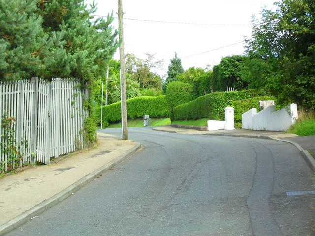
Image: © Dean Molyneaux Taken: 24 Sep 2009
Once a steep cul-de-sac off the Saintfield Road, it now links onto Burnside Avenue.
Images are licensed for reuse under creativecommons.org/licenses/by-sa/2.0
Image Location
Latitude
54.55522
Longitude
-5.906236