Pembrokeshire Coast Path
Introduction
The photograph on this page of Pembrokeshire Coast Path by Pauline E as part of the Geograph project.
The Geograph project started in 2005 with the aim of publishing, organising and preserving representative images for every square kilometre of Great Britain, Ireland and the Isle of Man.

There are currently over 7.5m images from over 14,400 individuals and you can help contribute to the project by visiting https://www.geograph.org.uk
Pembrokeshire Coast Path
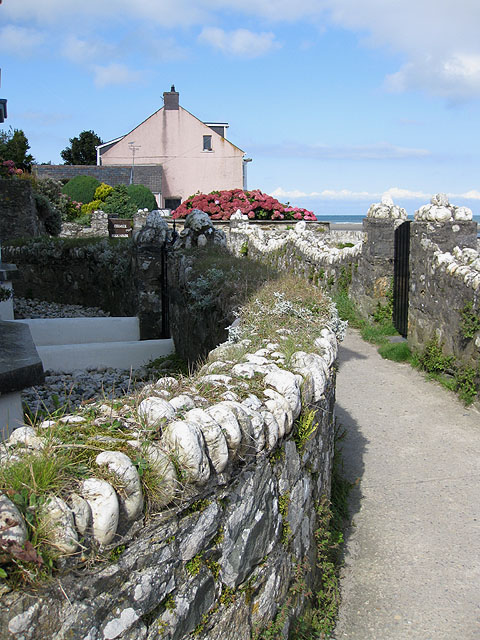
Image: © Pauline E Taken: 15 Sep 2009
Heading through the cluster of cottages by the Parrog, passing by the tidy gardens of the holiday homes. A hydrangea plant seems to be thriving in spite of the wind and seaspray.
Images are licensed for reuse under creativecommons.org/licenses/by-sa/2.0
Image Location


Leaflet Map data © OpenStreetMap
Latitude
52.020954
Longitude
-4.843774