Netherbury Village
Introduction
The photograph on this page of Netherbury Village by Nigel Mykura as part of the Geograph project.
The Geograph project started in 2005 with the aim of publishing, organising and preserving representative images for every square kilometre of Great Britain, Ireland and the Isle of Man.

There are currently over 7.5m images from over 14,400 individuals and you can help contribute to the project by visiting https://www.geograph.org.uk
Netherbury Village
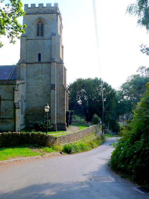
Image: © Nigel Mykura Taken: 20 Sep 2009
The village straddles the grid line between SY4799 and SY4699, with the church just inside the eastern square. This is the view south down through the village from just north of the church.
Images are licensed for reuse under creativecommons.org/licenses/by-sa/2.0
Image Location
Latitude
50.792631
Longitude
-2.753173