Ock Street Roundabout
Introduction
The photograph on this page of Ock Street Roundabout by Claire Ward as part of the Geograph project.
The Geograph project started in 2005 with the aim of publishing, organising and preserving representative images for every square kilometre of Great Britain, Ireland and the Isle of Man.

There are currently over 7.5m images from over 14,400 individuals and you can help contribute to the project by visiting https://www.geograph.org.uk
Ock Street Roundabout
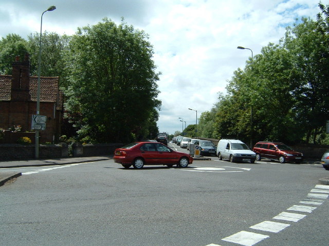
Image: © Claire Ward Taken: 3 Jun 2005
In the top righthand corner of the grid square, taken looking south. Ock Bridge, the hump in the middle, starts at the roundabout and crosses the River Ock (one of Abingdon's three rivers). This is a busy junction especially on schoolday mornings, several different junction designs have been built here over the years in an attempt to ease the traffic flow, the volume of traffic was reduced when the A34 bypass was built.
Images are licensed for reuse under creativecommons.org/licenses/by-sa/2.0
Image Location


Leaflet Map data © OpenStreetMap
Latitude
51.668764
Longitude
-1.295765