Field near Gilchristland Cottages
Introduction
The photograph on this page of Field near Gilchristland Cottages by Colin Pyle as part of the Geograph project.
The Geograph project started in 2005 with the aim of publishing, organising and preserving representative images for every square kilometre of Great Britain, Ireland and the Isle of Man.

There are currently over 7.5m images from over 14,400 individuals and you can help contribute to the project by visiting https://www.geograph.org.uk
Field near Gilchristland Cottages
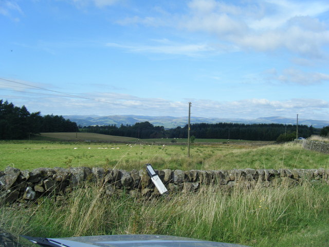
Image: © Colin Pyle Taken: 13 Sep 2009
View across open land towards Townburn Woods, with the Southern Uplands in the distance.
Images are licensed for reuse under creativecommons.org/licenses/by-sa/2.0
Image Location


Leaflet Map data © OpenStreetMap
Latitude
55.219755
Longitude
-3.691497