Whitewalls farm
Introduction
The photograph on this page of Whitewalls farm by Val Vannet as part of the Geograph project.
The Geograph project started in 2005 with the aim of publishing, organising and preserving representative images for every square kilometre of Great Britain, Ireland and the Isle of Man.

There are currently over 7.5m images from over 14,400 individuals and you can help contribute to the project by visiting https://www.geograph.org.uk
Whitewalls farm
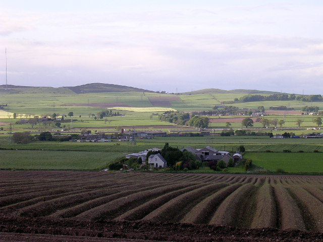
Image: © Val Vannet Taken: 3 Jun 2005
The farm is viewed looking north from the minor road in the extreme south east corner of the grid box. On the skyline on the left of the image is the transmitter mast on Gallow Hill (see NO3940)
Images are licensed for reuse under creativecommons.org/licenses/by-sa/2.0
Image Location


Leaflet Map data © OpenStreetMap
Latitude
56.507781
Longitude
-2.968324