Branksome Park, Spurhill Road
Introduction
The photograph on this page of Branksome Park, Spurhill Road by Mike Faherty as part of the Geograph project.
The Geograph project started in 2005 with the aim of publishing, organising and preserving representative images for every square kilometre of Great Britain, Ireland and the Isle of Man.

There are currently over 7.5m images from over 14,400 individuals and you can help contribute to the project by visiting https://www.geograph.org.uk
Branksome Park, Spurhill Road
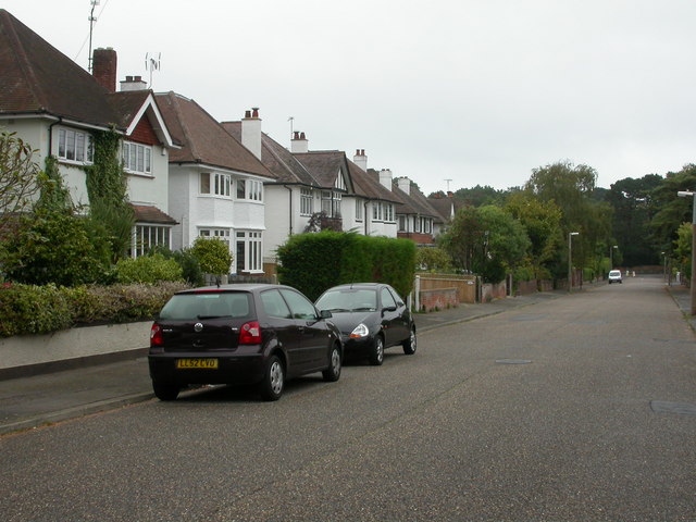
Image: © Mike Faherty Taken: 23 Sep 2009
Solid 1930s detached houses off Canford Cliffs Road.
Images are licensed for reuse under creativecommons.org/licenses/by-sa/2.0
Image Location
Latitude
50.718335
Longitude
-1.92813