Development Site of Victory Pier, Gillingham
Introduction
The photograph on this page of Development Site of Victory Pier, Gillingham by David Anstiss as part of the Geograph project.
The Geograph project started in 2005 with the aim of publishing, organising and preserving representative images for every square kilometre of Great Britain, Ireland and the Isle of Man.

There are currently over 7.5m images from over 14,400 individuals and you can help contribute to the project by visiting https://www.geograph.org.uk
Development Site of Victory Pier, Gillingham
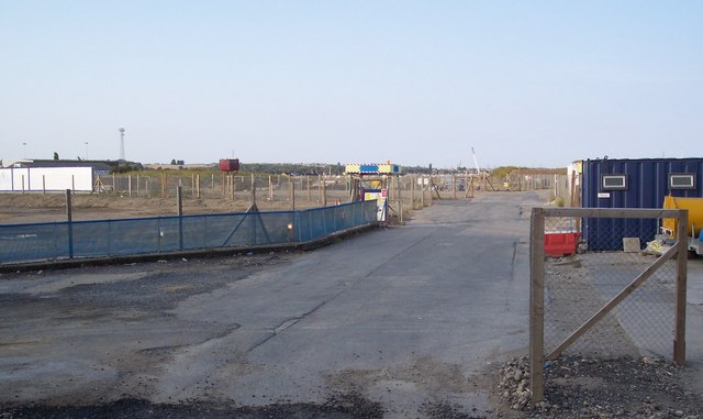
Image: © David Anstiss Taken: 18 Sep 2009
This area is being developed by Berkeley Homes on the A289 Pier Road. Outline planning permission has been secured for 800 homes at Victory Pier, which will include studio apartments, one, two and three bed homes, and a number of penthouses, to cater for a wide range of home ownership aspirations. A number of affordable homes will also be available for both rent and sale. The 20 acre site with landscaped green spaces and new river walks will be open to the public for the first time in nearly 50 years. New student accommodation has already been completed. Next, a hotel and then the housing blocks will be built.
Images are licensed for reuse under creativecommons.org/licenses/by-sa/2.0
Image Location
Latitude
51.396182
Longitude
0.556279