Waste ground north of Northway Lane
Introduction
The photograph on this page of Waste ground north of Northway Lane by Jonathan Billinger as part of the Geograph project.
The Geograph project started in 2005 with the aim of publishing, organising and preserving representative images for every square kilometre of Great Britain, Ireland and the Isle of Man.

There are currently over 7.5m images from over 14,400 individuals and you can help contribute to the project by visiting https://www.geograph.org.uk
Waste ground north of Northway Lane
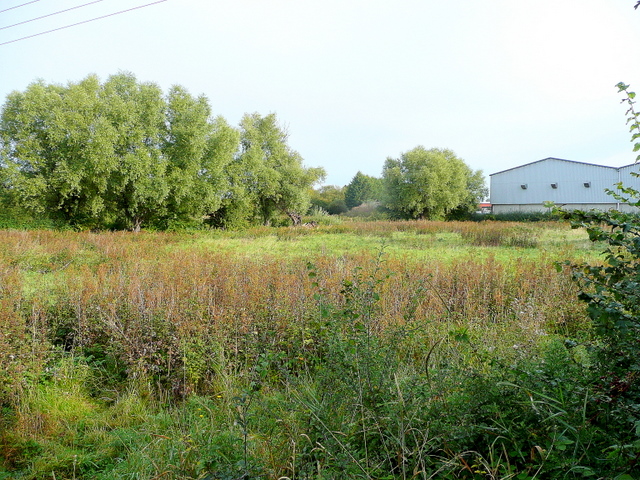
Image: © Jonathan Billinger Taken: 21 Sep 2009
Possibly earmarked for industrial use, but is also probably liable to flooding.
Images are licensed for reuse under creativecommons.org/licenses/by-sa/2.0
Image Location
Latitude
52.000316
Longitude
-2.13338