Beechdale Road
Introduction
The photograph on this page of Beechdale Road by David Lally as part of the Geograph project.
The Geograph project started in 2005 with the aim of publishing, organising and preserving representative images for every square kilometre of Great Britain, Ireland and the Isle of Man.

There are currently over 7.5m images from over 14,400 individuals and you can help contribute to the project by visiting https://www.geograph.org.uk
Beechdale Road
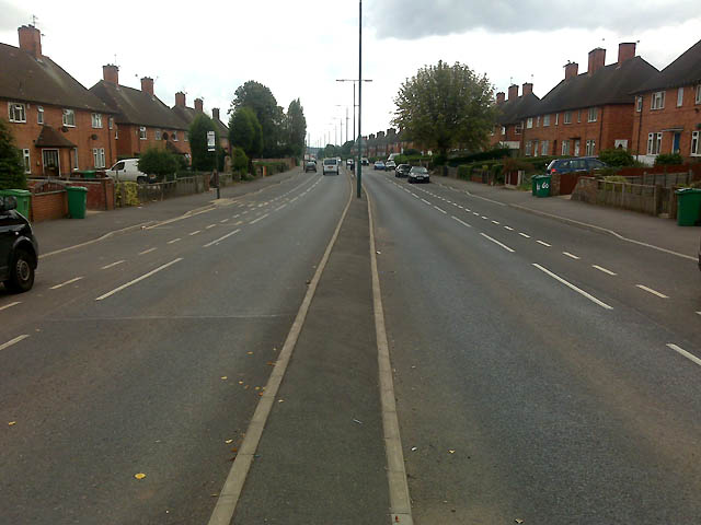
Image: © David Lally Taken: 15 Sep 2009
Here we are right in the middle of four districts. Beechdale, Aspley, Broxtowe and Bilborough. The view is toward Beechdale.
Images are licensed for reuse under creativecommons.org/licenses/by-sa/2.0
Image Location
Latitude
52.970668
Longitude
-1.215174