Discing at Burleigh Farm
Introduction
The photograph on this page of Discing at Burleigh Farm by Oast House Archive as part of the Geograph project.
The Geograph project started in 2005 with the aim of publishing, organising and preserving representative images for every square kilometre of Great Britain, Ireland and the Isle of Man.

There are currently over 7.5m images from over 14,400 individuals and you can help contribute to the project by visiting https://www.geograph.org.uk
Discing at Burleigh Farm
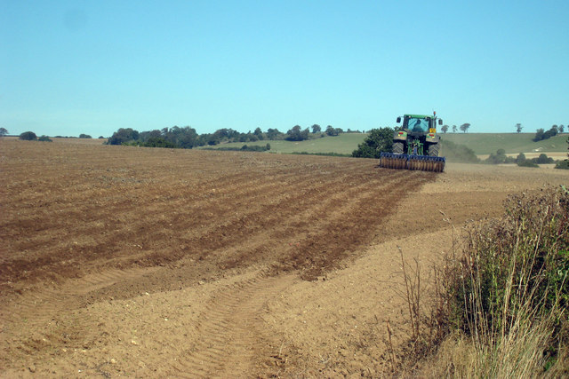
Image: © Oast House Archive Taken: 22 Sep 2009
Once the field has been ploughed the furrows are broken down to level the ground once again.
Images are licensed for reuse under creativecommons.org/licenses/by-sa/2.0
Image Location
Latitude
51.212346
Longitude
0.762163