River Trent downstream of Trent Terrace - Norton Green
Introduction
The photograph on this page of River Trent downstream of Trent Terrace - Norton Green by John M as part of the Geograph project.
The Geograph project started in 2005 with the aim of publishing, organising and preserving representative images for every square kilometre of Great Britain, Ireland and the Isle of Man.

There are currently over 7.5m images from over 14,400 individuals and you can help contribute to the project by visiting https://www.geograph.org.uk
River Trent downstream of Trent Terrace - Norton Green
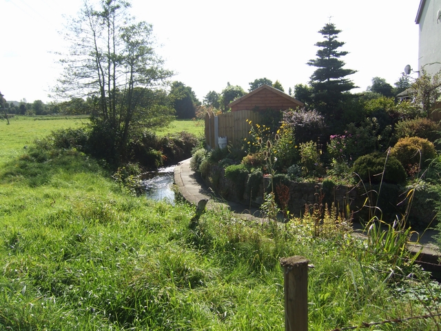
Image: © John M Taken: 20 Sep 2009
Curiously the river takes a sharp turn to flow in a channel in front of these properties and then takes another sharp turn at the end of the terrace. The river was probably diverted to operate a forge and maybe this was originally a bypass channel.
Images are licensed for reuse under creativecommons.org/licenses/by-sa/2.0
Image Location
Latitude
53.065688
Longitude
-2.14919