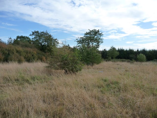
The Old Orchard
Introduction
The photograph on this page of The Old Orchard by Kevin White as part of the Geograph project.
The Geograph project started in 2005 with the aim of publishing, organising and preserving representative images for every square kilometre of Great Britain, Ireland and the Isle of Man.
There are currently over 7.5m images from over 14,400 individuals and you can help contribute to the project by visiting https://www.geograph.org.uk

Image: © Kevin White Taken: 21 Sep 2009
Shown as an orchard on 1930s and later OS maps,a few sorry vestiges of fruit trees remain. This land is a vital sliver of Green Belt between Slough and Farnham Royal, and with its expected inclusion in a conservation area is attracting interest from South Bucks Council as a bio diverse patch of ground!

