River Trent upstream of A50
Introduction
The photograph on this page of River Trent upstream of A50 by John M as part of the Geograph project.
The Geograph project started in 2005 with the aim of publishing, organising and preserving representative images for every square kilometre of Great Britain, Ireland and the Isle of Man.

There are currently over 7.5m images from over 14,400 individuals and you can help contribute to the project by visiting https://www.geograph.org.uk
River Trent upstream of A50
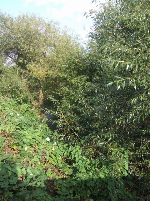
Image: © John M Taken: 20 Sep 2009
Somewhere largely hidden by the dense vegetation the river flows south through Stoke-on-Trent unseen by the citizens. The only clue for its presence are the brick parapets of the bridges.
Images are licensed for reuse under creativecommons.org/licenses/by-sa/2.0
Image Location
Latitude
53.013976
Longitude
-2.167493