River Trent - Downstream of the A50
Introduction
The photograph on this page of River Trent - Downstream of the A50 by John M as part of the Geograph project.
The Geograph project started in 2005 with the aim of publishing, organising and preserving representative images for every square kilometre of Great Britain, Ireland and the Isle of Man.

There are currently over 7.5m images from over 14,400 individuals and you can help contribute to the project by visiting https://www.geograph.org.uk
River Trent - Downstream of the A50
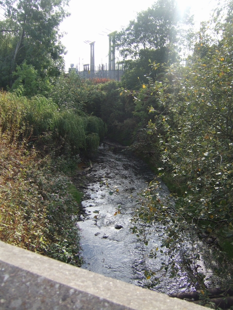
Image: © John M Taken: 20 Sep 2009
The river has become much larger and perhaps cleaner as more tributaries have joined between here and Finney Gardens. Heading south it now passes through Stoke.
Images are licensed for reuse under creativecommons.org/licenses/by-sa/2.0
Image Location
Latitude
53.012626
Longitude
-2.168382