Oxfordshire farmland
Introduction
The photograph on this page of Oxfordshire farmland by Dennis Turner as part of the Geograph project.
The Geograph project started in 2005 with the aim of publishing, organising and preserving representative images for every square kilometre of Great Britain, Ireland and the Isle of Man.

There are currently over 7.5m images from over 14,400 individuals and you can help contribute to the project by visiting https://www.geograph.org.uk
Oxfordshire farmland
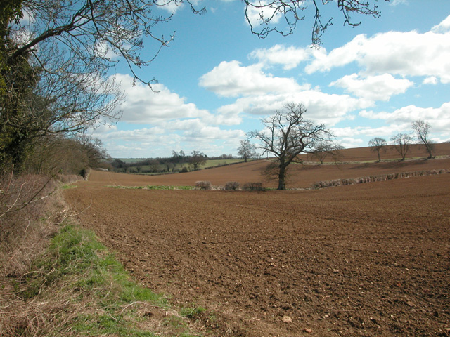
Image: © Dennis Turner Taken: 8 Apr 2006
Characteristic rich red brown farmland just on Deddington Hill. The Banbury Oxford road runs south through this grid square and with the exception of a small Council depot, the square is farmland.
Images are licensed for reuse under creativecommons.org/licenses/by-sa/2.0
Image Location


Leaflet Map data © OpenStreetMap
Latitude
51.992602
Longitude
-1.322738