Southdown Cottage, Nonington
Introduction
The photograph on this page of Southdown Cottage, Nonington by pam fray as part of the Geograph project.
The Geograph project started in 2005 with the aim of publishing, organising and preserving representative images for every square kilometre of Great Britain, Ireland and the Isle of Man.

There are currently over 7.5m images from over 14,400 individuals and you can help contribute to the project by visiting https://www.geograph.org.uk
Southdown Cottage, Nonington
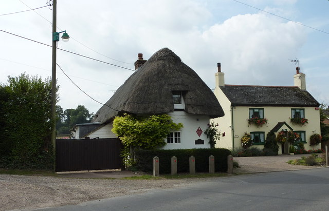
Image: © pam fray Taken: 21 Sep 2009
The cottage bears a "Historic Buildings of Kent" plaque. To its left is a bridleway and on the right is Torre Cottage.
Images are licensed for reuse under creativecommons.org/licenses/by-sa/2.0
Image Location
Latitude
51.222941
Longitude
1.23634