Farmland in the Bucklebury/Midgham Area
Introduction
The photograph on this page of Farmland in the Bucklebury/Midgham Area by Pam Brophy as part of the Geograph project.
The Geograph project started in 2005 with the aim of publishing, organising and preserving representative images for every square kilometre of Great Britain, Ireland and the Isle of Man.

There are currently over 7.5m images from over 14,400 individuals and you can help contribute to the project by visiting https://www.geograph.org.uk
Farmland in the Bucklebury/Midgham Area
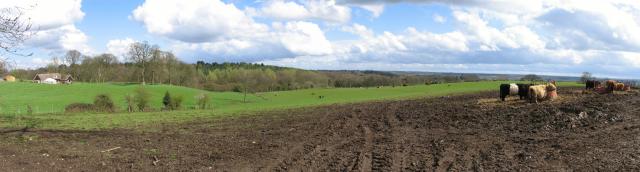
Image: © Pam Brophy Taken: 6 Apr 2005
The view of the farmland in this photograph was taken from Kiln's Farm on the east side of Cox's Lane looking towards Midgham Wood, which is just visible. It is situated in the south eastern corner of the square.
Images are licensed for reuse under creativecommons.org/licenses/by-sa/2.0
Image Location


Leaflet Map data © OpenStreetMap
Latitude
51.412909
Longitude
-1.217741