Subterranean Woodham Burn Newton Aycliffe
Introduction
The photograph on this page of Subterranean Woodham Burn Newton Aycliffe by Peter Robinson as part of the Geograph project.
The Geograph project started in 2005 with the aim of publishing, organising and preserving representative images for every square kilometre of Great Britain, Ireland and the Isle of Man.

There are currently over 7.5m images from over 14,400 individuals and you can help contribute to the project by visiting https://www.geograph.org.uk
Subterranean Woodham Burn Newton Aycliffe
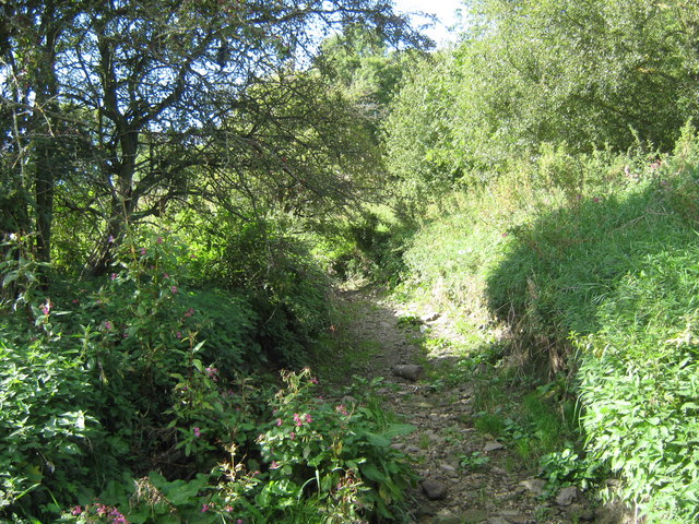
Image: © Peter Robinson Taken: 20 Sep 2009
Normal summer appearance as the burn at this point is running below the limestone bed
Images are licensed for reuse under creativecommons.org/licenses/by-sa/2.0
Image Location
Latitude
54.627366
Longitude
-1.56519