Dairy Hill, Torquay
Introduction
The photograph on this page of Dairy Hill, Torquay by Derek Harper as part of the Geograph project.
The Geograph project started in 2005 with the aim of publishing, organising and preserving representative images for every square kilometre of Great Britain, Ireland and the Isle of Man.

There are currently over 7.5m images from over 14,400 individuals and you can help contribute to the project by visiting https://www.geograph.org.uk
Dairy Hill, Torquay
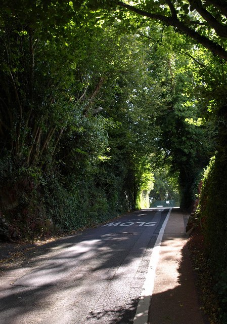
Image: © Derek Harper Taken: 14 Sep 2009
An old lane surviving in the Torquay suburbs, leading up from the old village at Shiphay to meet Image; but one-way for traffic down the hill.
Images are licensed for reuse under creativecommons.org/licenses/by-sa/2.0
Image Location
Latitude
50.477852
Longitude
-3.560803