Buller Road Evangelical Church
Introduction
The photograph on this page of Buller Road Evangelical Church by Anthony Vosper as part of the Geograph project.
The Geograph project started in 2005 with the aim of publishing, organising and preserving representative images for every square kilometre of Great Britain, Ireland and the Isle of Man.

There are currently over 7.5m images from over 14,400 individuals and you can help contribute to the project by visiting https://www.geograph.org.uk
Buller Road Evangelical Church
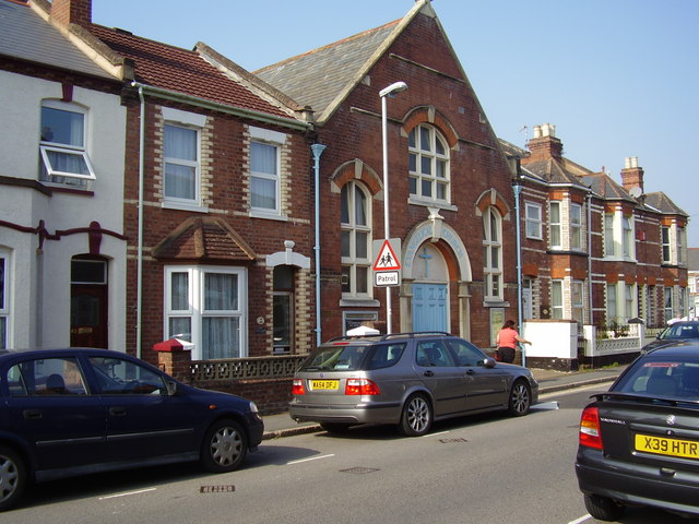
Image: © Anthony Vosper Taken: 19 Sep 2009
A small turn of the century church. Note the change in building styles on either side.
Images are licensed for reuse under creativecommons.org/licenses/by-sa/2.0
Image Location
Latitude
50.71785
Longitude
-3.543407