Footpath junction near Golford
Introduction
The photograph on this page of Footpath junction near Golford by David Anstiss as part of the Geograph project.
The Geograph project started in 2005 with the aim of publishing, organising and preserving representative images for every square kilometre of Great Britain, Ireland and the Isle of Man.

There are currently over 7.5m images from over 14,400 individuals and you can help contribute to the project by visiting https://www.geograph.org.uk
Footpath junction near Golford
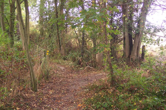
Image: © David Anstiss Taken: 20 Sep 2009
A path from Golford Road leads straight on to Cherrybrook Farm on Chapel Lane. Another path leads right to Coursehorne Farm and Dulwich Prep. School.
Images are licensed for reuse under creativecommons.org/licenses/by-sa/2.0
Image Location
Latitude
51.096101
Longitude
0.566684