2009 : Pucklechurch twinned with Pringy
Introduction
The photograph on this page of 2009 : Pucklechurch twinned with Pringy by Maurice Pullin as part of the Geograph project.
The Geograph project started in 2005 with the aim of publishing, organising and preserving representative images for every square kilometre of Great Britain, Ireland and the Isle of Man.

There are currently over 7.5m images from over 14,400 individuals and you can help contribute to the project by visiting https://www.geograph.org.uk
2009 : Pucklechurch twinned with Pringy
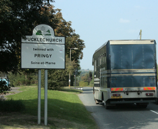
Image: © Maurice Pullin Taken: 19 Sep 2009
I usually remove vehicle registration numbers to avoid possible embarrassment but was unable to resist the temptation to leave this one in.
Images are licensed for reuse under creativecommons.org/licenses/by-sa/2.0
Image Location
Latitude
51.479925
Longitude
-2.427915