Head Dike
Introduction
The photograph on this page of Head Dike by Michael Patterson as part of the Geograph project.
The Geograph project started in 2005 with the aim of publishing, organising and preserving representative images for every square kilometre of Great Britain, Ireland and the Isle of Man.

There are currently over 7.5m images from over 14,400 individuals and you can help contribute to the project by visiting https://www.geograph.org.uk
Head Dike
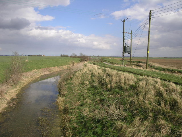
Image: © Michael Patterson Taken: 10 Apr 2006
I assume this dike is in charge of a number of the others in the area. Either that or it is the highest above sea level.
Images are licensed for reuse under creativecommons.org/licenses/by-sa/2.0
Image Location
Latitude
53.004468
Longitude
-0.232514