Bench Mark, Temple Sowerby
Introduction
The photograph on this page of Bench Mark, Temple Sowerby by David Rogers as part of the Geograph project.
The Geograph project started in 2005 with the aim of publishing, organising and preserving representative images for every square kilometre of Great Britain, Ireland and the Isle of Man.

There are currently over 7.5m images from over 14,400 individuals and you can help contribute to the project by visiting https://www.geograph.org.uk
Bench Mark, Temple Sowerby
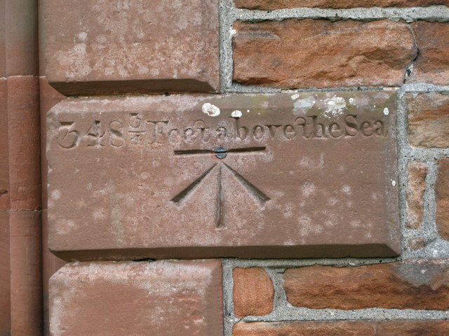
Image: © David Rogers Taken: 18 Sep 2009
"Bolt", in the wall of St James' Church marking height "above the sea". http://www.bench-marks.org.uk/bm28393
Images are licensed for reuse under creativecommons.org/licenses/by-sa/2.0
Image Location
Latitude
54.637877
Longitude
-2.602959