Holtspur Bottom
Introduction
The photograph on this page of Holtspur Bottom by Andrew Smith as part of the Geograph project.
The Geograph project started in 2005 with the aim of publishing, organising and preserving representative images for every square kilometre of Great Britain, Ireland and the Isle of Man.

There are currently over 7.5m images from over 14,400 individuals and you can help contribute to the project by visiting https://www.geograph.org.uk
Holtspur Bottom
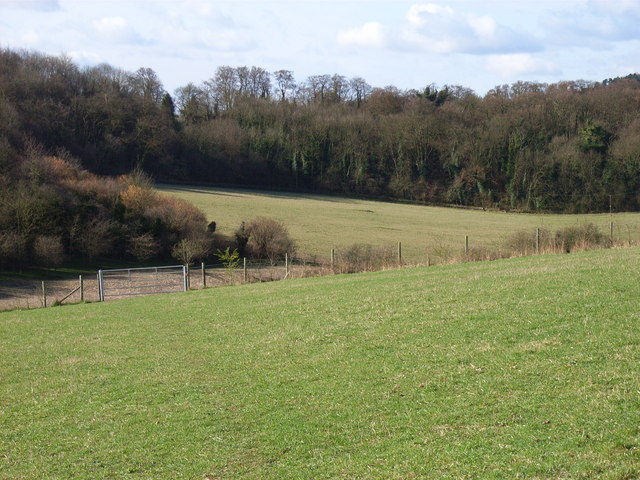
Image: © Andrew Smith Taken: 8 Apr 2006
Taken from a nature reserve owned by Beaconsfield Town Council, looking towards the woods next to the A40.
Images are licensed for reuse under creativecommons.org/licenses/by-sa/2.0
Image Location
Latitude
51.602317
Longitude
-0.680246