Northlight extension to Former Clayton Brewery
Introduction
The photograph on this page of Northlight extension to Former Clayton Brewery by Michael Steele as part of the Geograph project.
The Geograph project started in 2005 with the aim of publishing, organising and preserving representative images for every square kilometre of Great Britain, Ireland and the Isle of Man.

There are currently over 7.5m images from over 14,400 individuals and you can help contribute to the project by visiting https://www.geograph.org.uk
Northlight extension to Former Clayton Brewery
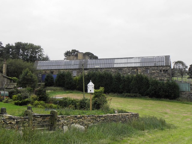
Image: © Michael Steele Taken: 18 Sep 2009
This extension dates from the 1920s when the premises were first used as a Textile Mill producing Moquette.
Images are licensed for reuse under creativecommons.org/licenses/by-sa/2.0
Image Location
Latitude
53.779469
Longitude
-1.852157