"Lego Towers"
Introduction
The photograph on this page of "Lego Towers" by Robert Lamb as part of the Geograph project.
The Geograph project started in 2005 with the aim of publishing, organising and preserving representative images for every square kilometre of Great Britain, Ireland and the Isle of Man.

There are currently over 7.5m images from over 14,400 individuals and you can help contribute to the project by visiting https://www.geograph.org.uk
"Lego Towers"
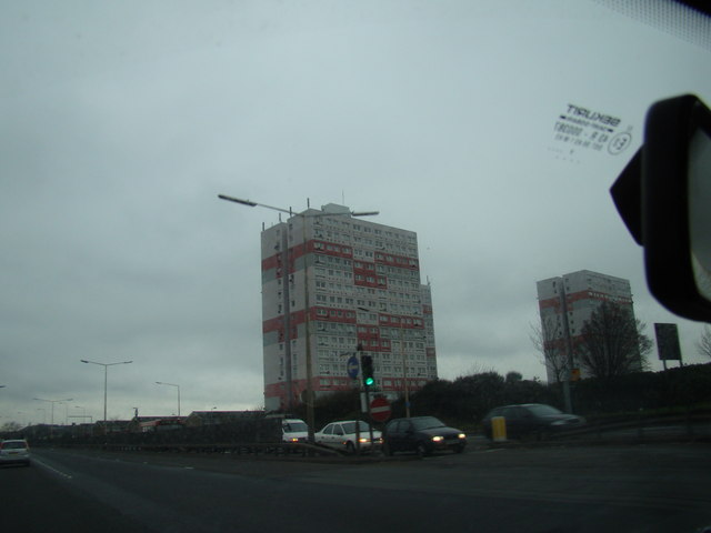
Image: © Robert Lamb Taken: 14 Dec 2008
This is a response to Glyn Baker's Image It is another shot of Dunmow House, one of the "Lego Towers", taken from the same carriageway but taken from a different angle and direction from the traffic lights at the junction of the A13 and Renwick Road. View taken looking north-northeast towards Barking. UPDATE 2013: These towers are now going to be demolished.
Images are licensed for reuse under creativecommons.org/licenses/by-sa/2.0
Image Location
Latitude
51.533522
Longitude
0.113073