Wirral Way
Introduction
The photograph on this page of Wirral Way by Eirian Evans as part of the Geograph project.
The Geograph project started in 2005 with the aim of publishing, organising and preserving representative images for every square kilometre of Great Britain, Ireland and the Isle of Man.

There are currently over 7.5m images from over 14,400 individuals and you can help contribute to the project by visiting https://www.geograph.org.uk
Wirral Way
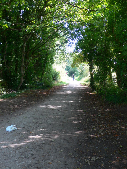
Image: © Eirian Evans Taken: 12 Sep 2009
The Wirral Way, a path on the track of an old railway, is 12 miles long and goes from West Kirby to Hooton in mid-Wirral. It is situated within Wirral Country Park.This section is in Neston.
Images are licensed for reuse under creativecommons.org/licenses/by-sa/2.0
Image Location
Latitude
53.286992
Longitude
-3.066481