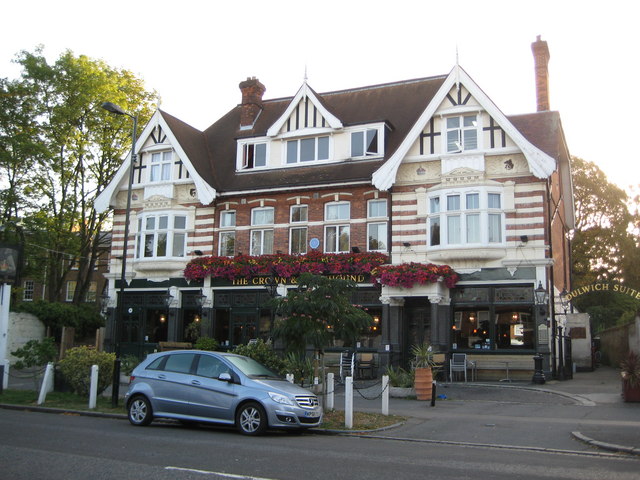
Dulwich: The Crown & Greyhound, Dulwich Village, SE21
Introduction
The photograph on this page of Dulwich: The Crown & Greyhound, Dulwich Village, SE21 by Nigel Cox as part of the Geograph project.
The Geograph project started in 2005 with the aim of publishing, organising and preserving representative images for every square kilometre of Great Britain, Ireland and the Isle of Man.
There are currently over 7.5m images from over 14,400 individuals and you can help contribute to the project by visiting https://www.geograph.org.uk

Image: © Nigel Cox Taken: 10 Sep 2009
As Paul describes in his Image the current pub is an amalgamation of two former ones. However this was the site of The Crown while The Greyhound occupied a site on the other side of Dulwich Village about where Pickwick Road now leads off. The Greyhound seems to have been demolished in Edwardian times to make way for the residential development in Pickwick Road and Aysgarth Road. The road outside the pub is actually called Dulwich Village but old Ordnance Survey maps of the Victorian era describe it as the High Street.

