Cumbernauld's Dark Path
Introduction
The photograph on this page of Cumbernauld's Dark Path by Robert Murray as part of the Geograph project.
The Geograph project started in 2005 with the aim of publishing, organising and preserving representative images for every square kilometre of Great Britain, Ireland and the Isle of Man.

There are currently over 7.5m images from over 14,400 individuals and you can help contribute to the project by visiting https://www.geograph.org.uk
Cumbernauld's Dark Path
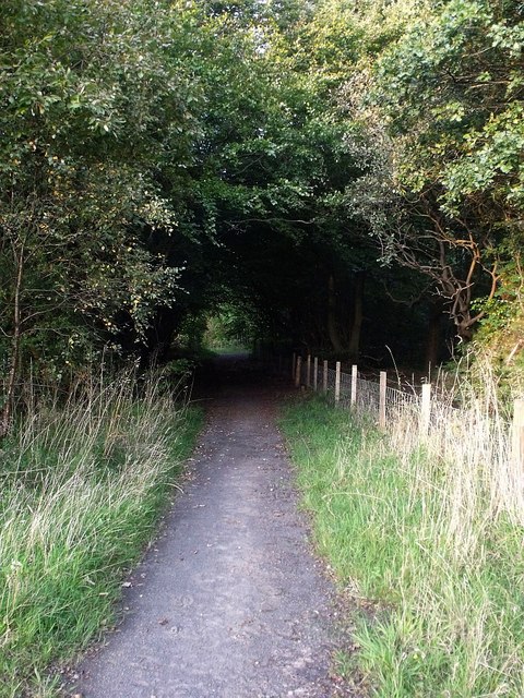
Image: © Robert Murray Taken: 18 Sep 2009
This refurbished countryside path is near to a now lost and forgotten place called Greenyards.
Images are licensed for reuse under creativecommons.org/licenses/by-sa/2.0
Image Location
Latitude
55.94528
Longitude
-3.967849