Boundary to the Waddesdon Estate
Introduction
The photograph on this page of Boundary to the Waddesdon Estate by Graham Hale as part of the Geograph project.
The Geograph project started in 2005 with the aim of publishing, organising and preserving representative images for every square kilometre of Great Britain, Ireland and the Isle of Man.

There are currently over 7.5m images from over 14,400 individuals and you can help contribute to the project by visiting https://www.geograph.org.uk
Boundary to the Waddesdon Estate
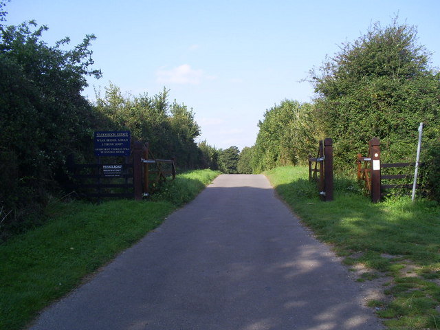
Image: © Graham Hale Taken: 18 Sep 2009
A gate and signs mark the start of the private road to Eythrope on the Waddesdon Estate, owned by the Rothschild family. The road beyond is a public bridleway and forms part of the Midshires Way and Swans Way.
Images are licensed for reuse under creativecommons.org/licenses/by-sa/2.0
Image Location
Latitude
51.808078
Longitude
-0.873398