The Turnpike
Introduction
The photograph on this page of The Turnpike by Gerald England as part of the Geograph project.
The Geograph project started in 2005 with the aim of publishing, organising and preserving representative images for every square kilometre of Great Britain, Ireland and the Isle of Man.

There are currently over 7.5m images from over 14,400 individuals and you can help contribute to the project by visiting https://www.geograph.org.uk
The Turnpike
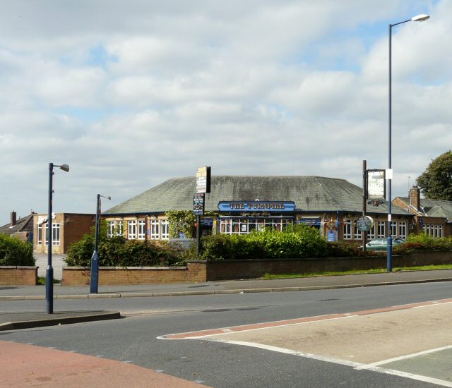
Image: © Gerald England Taken: 18 Sep 2009
On the corner of Broadoak Road and Lees Road. Previously called the New Nook which opened in 1958. Image
Images are licensed for reuse under creativecommons.org/licenses/by-sa/2.0
Image Location
Latitude
53.504586
Longitude
-2.078511